From Orbit. To the Field. To the Decision.
Through ISPACEI and the 75SSM, we operate within India's largest indigenous student-satellite ecosystem — 18 CubeSats built, 3 launched on PSLV vehicles, with the forthcoming RIVERSAT-75 constellation extending our depth.
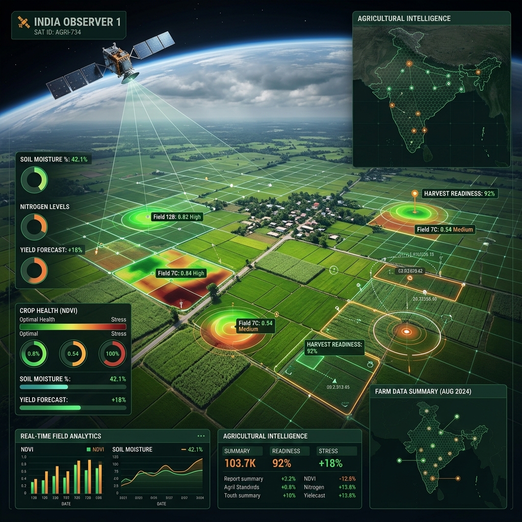
Earth Observation & Analytics Stack
{{ del.t }}
{{ del.d }}
Flexible subscription models.
Our space services are sold as time-bound subscriptions priced per district, per FPO or per hectare, depending on the use case. We offer a starter dashboard, a state-level enterprise tier, and a custom MRV configuration for carbon and insurance partners.
All services integrate with AgriStack and the Krishi Decision Support System.
We sell decisions, not raw pixels.
Most space-data providers sell pixels. We sell decisions. Our team blends satellite engineers who built the platforms with agronomists who understand the field, financial analysts who price the risk, and policy specialists who navigate the institutional context.
The same Earth-observation pixel reaches you as an actionable advisory rather than as raw data.
How we are commissioned.
Scoping workshop
A scoping conversation to clarify the strategic question and decisions to be made.
Concept memo
A brief concept memorandum detailing the approach and scope within ten working days.
Engagement letter
A formal agreement outlining milestones, deliverables, pricing, and models.
Structured delivery
Execution with a defined steering rhythm and quality assurance gates.
Closure & sharing
Final review and, where permitted, publication of a learning brief or white paper.